Fall Foliage of Hemlock and Conesus Lakes
Fall Foliage
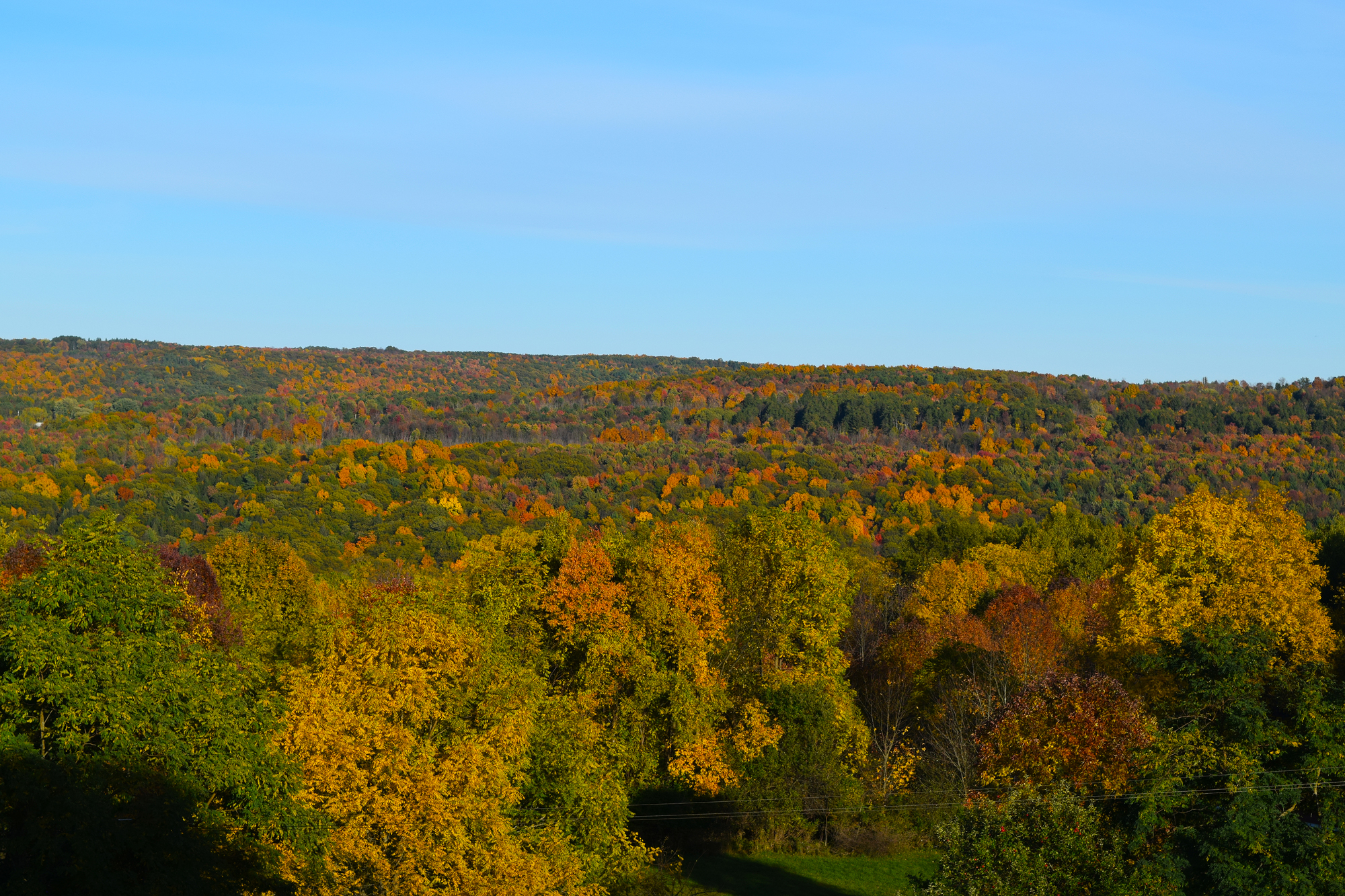
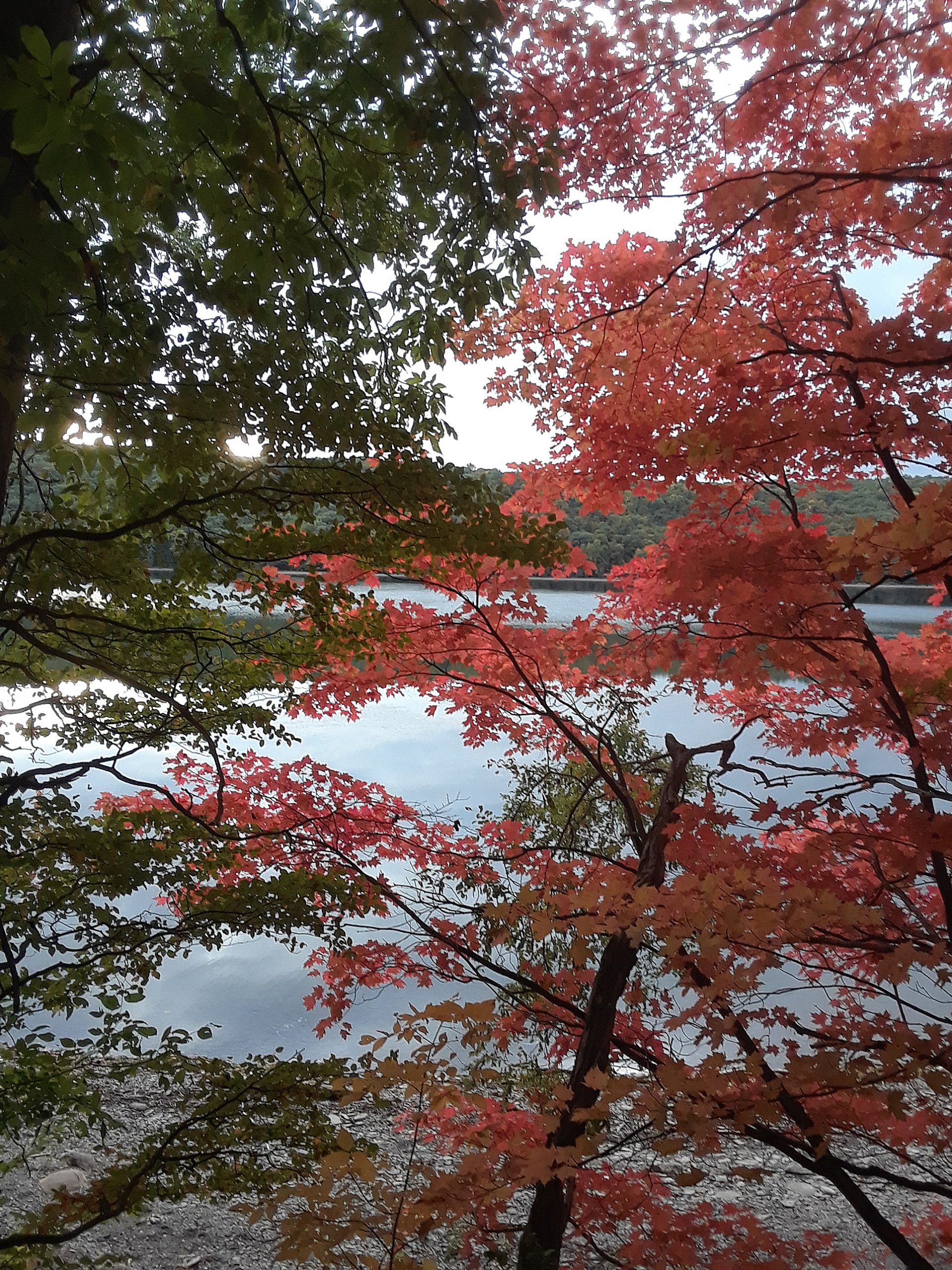
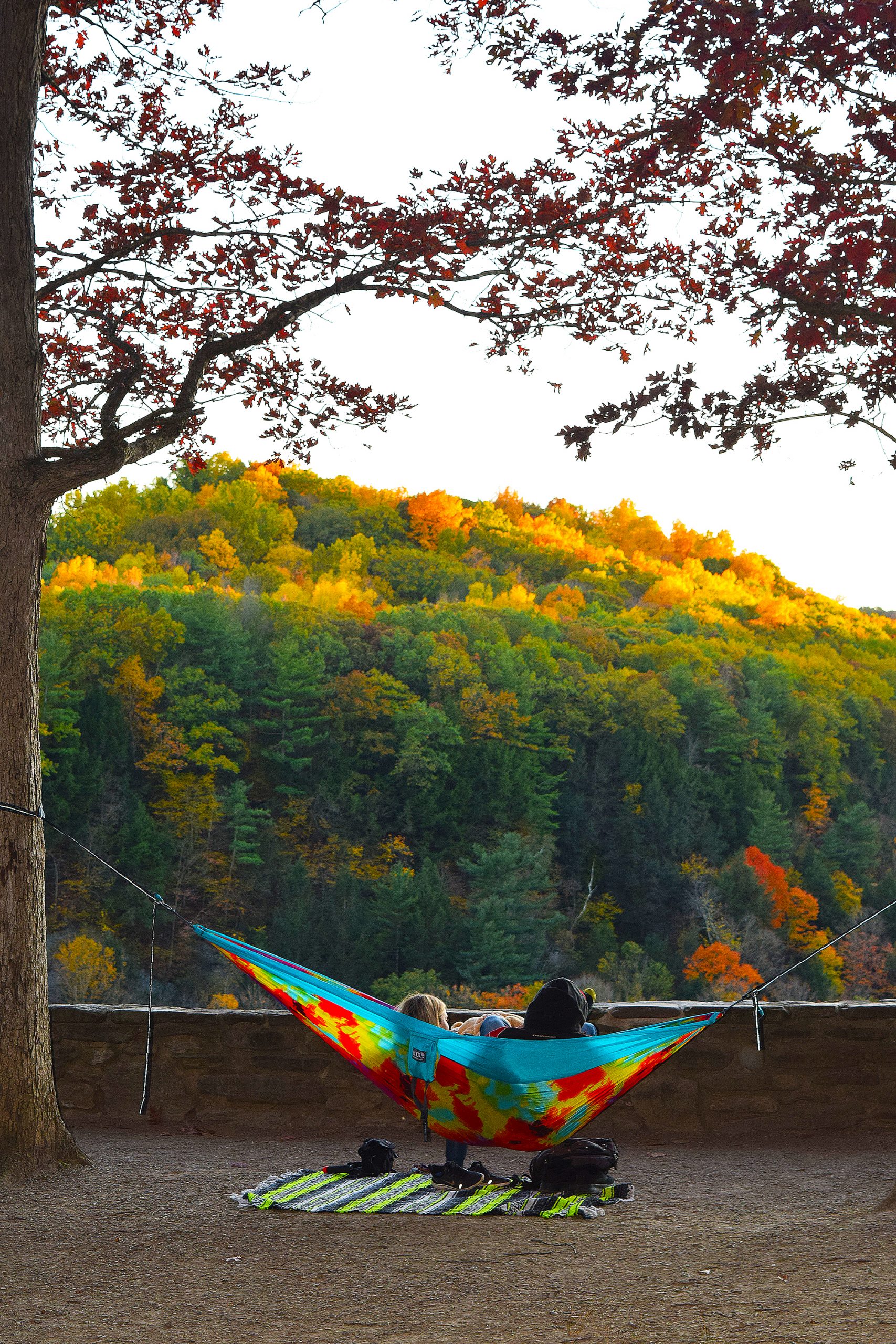
The fall foliage this year has been magnificent. This being my first year living in the Finger Lakes Region, I can not say if this was an average year or not. Everyone gives top credits to the New England area for fall foliage, but I sure the Finger lakes can beat them out.
Bristol Mountain Ski Resort opens up a chair lift each fall and thousands of people use it to explore the fall foliage from the ride up and from the peaks. I thought about doing it, but, figured it is a waste of money. The view from my window at St Micheal’s is a mountain top view.
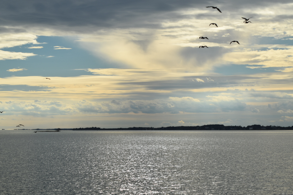
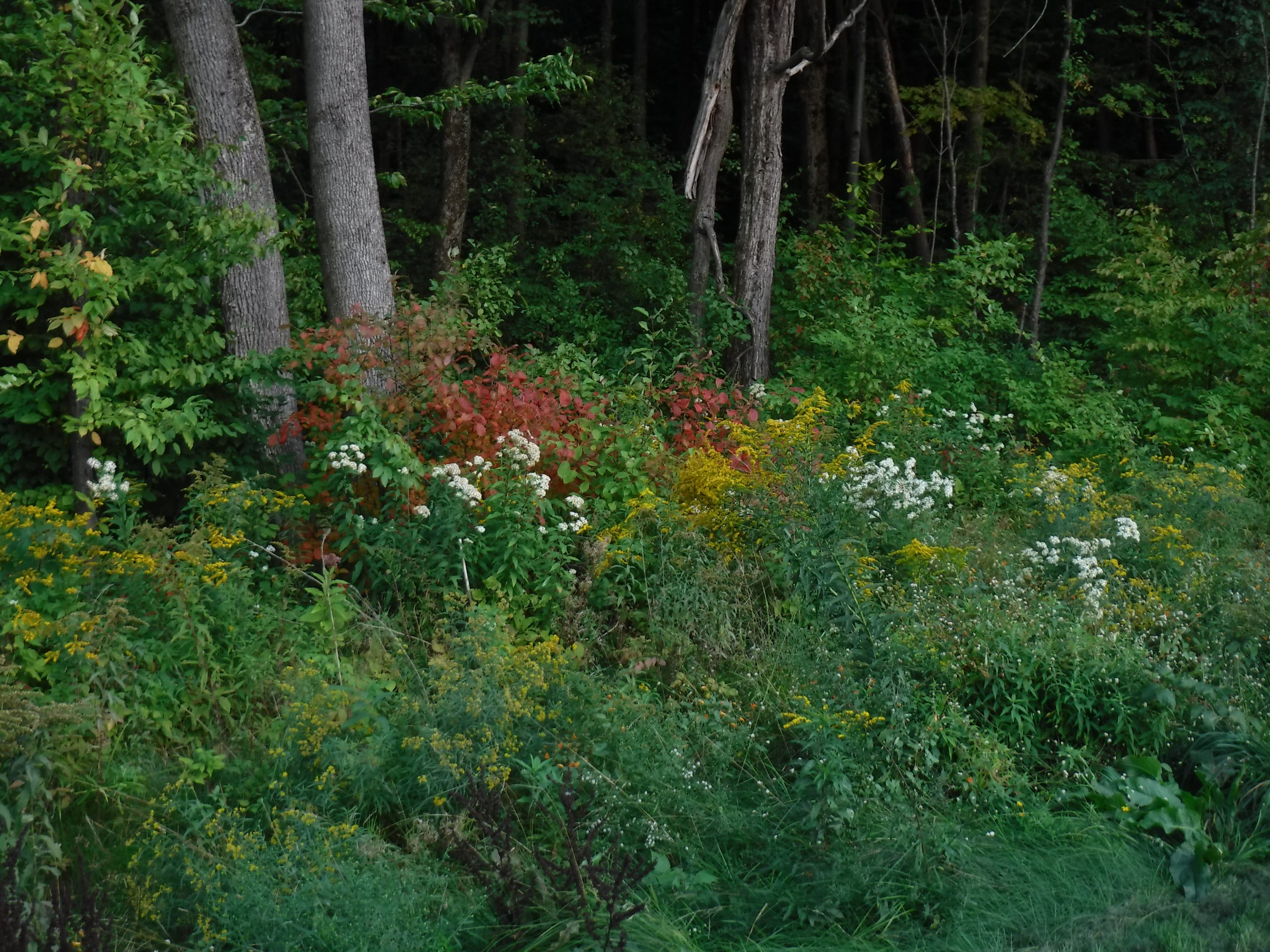
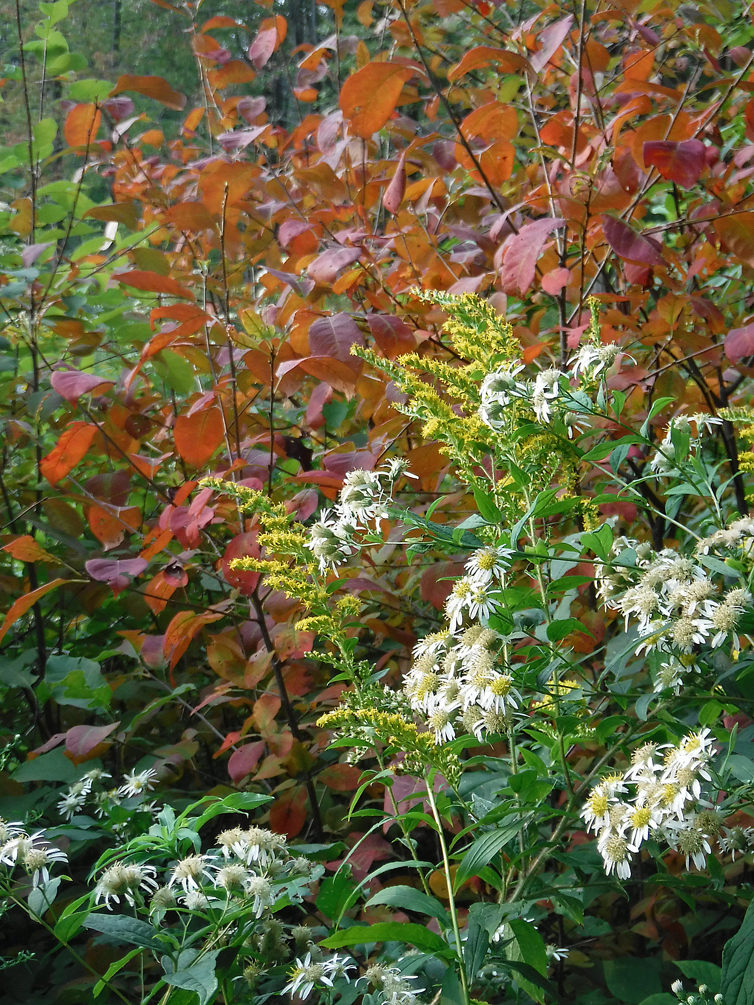
I saw my first glimpse of the leaves at the beginning of September when I was up at the Thousand Islands. Two weeks later, you could see the leaves changing here in the Finger Lakes. My walks in the woods or along the lakeshore revealed an ever-changing palette of colors.
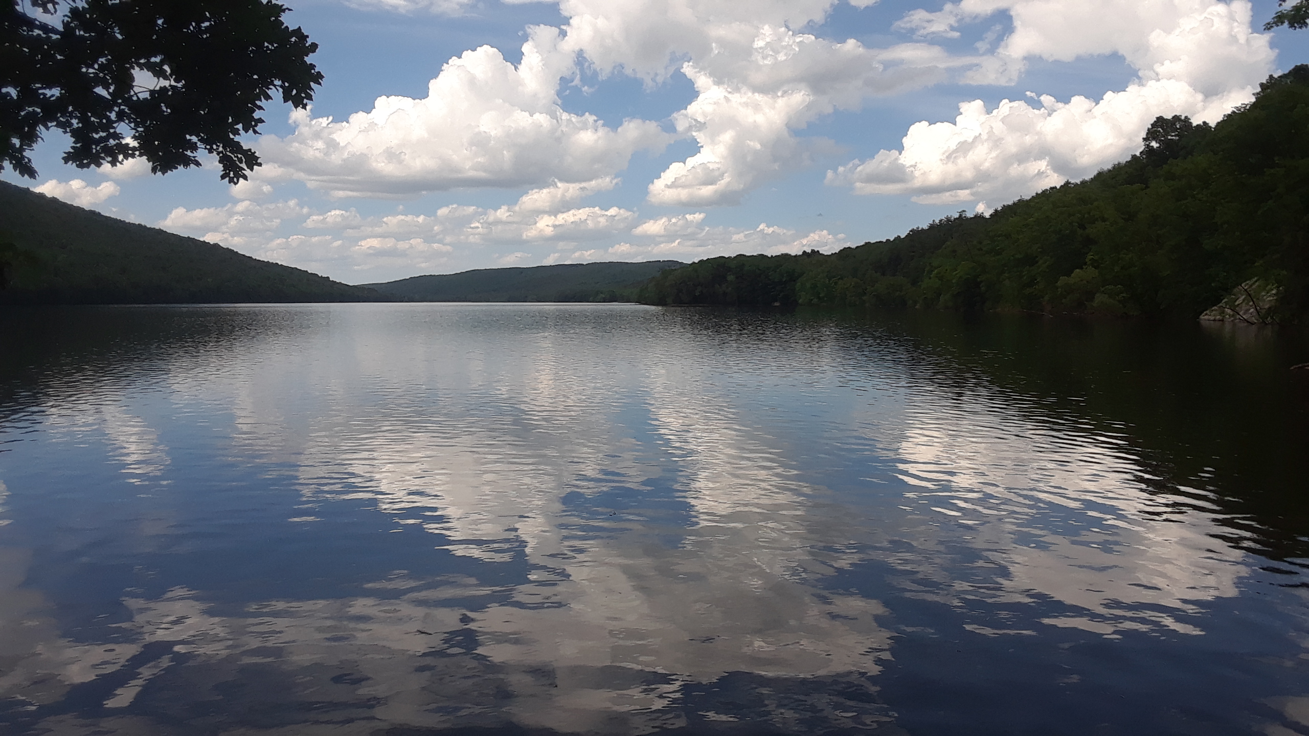
Starting from the north boat launch parking lot, this trail heads south on a wide path for about 1.75 miles. There it continues on a narrow path reaching the south boat launch parking lot a number of miles away.

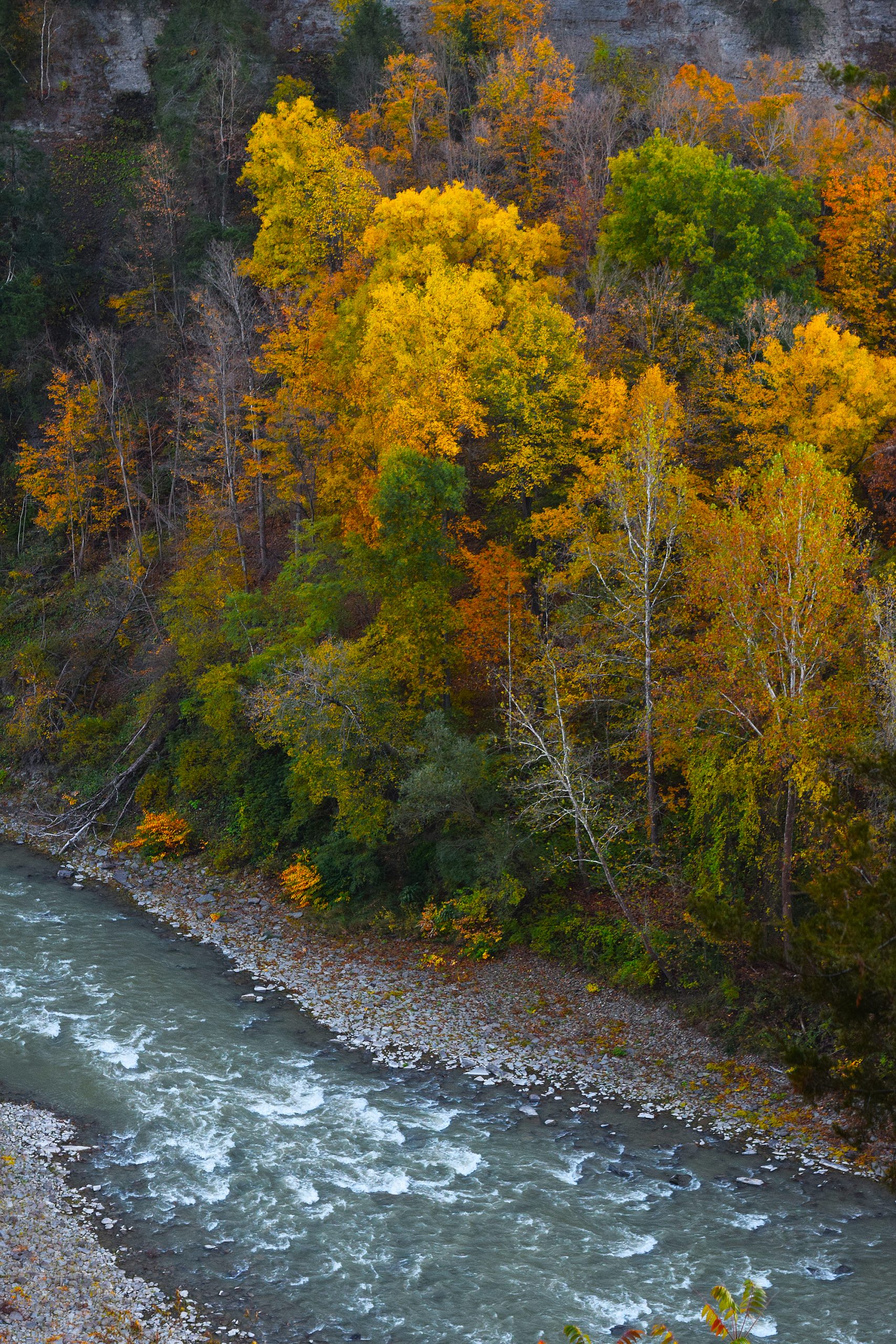
Hemlock Lake is a part of the Hemlock-Canadice State forest. Unlike the majority of the other Finger Lakes, there is no development around the lake.

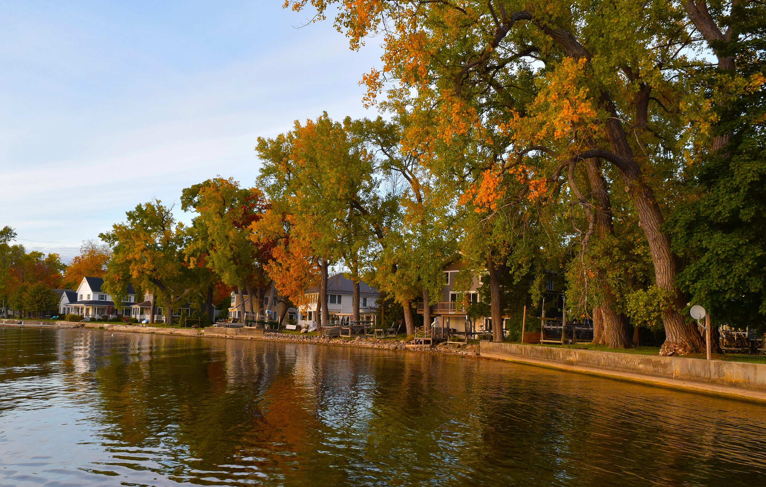
Conesus Lake
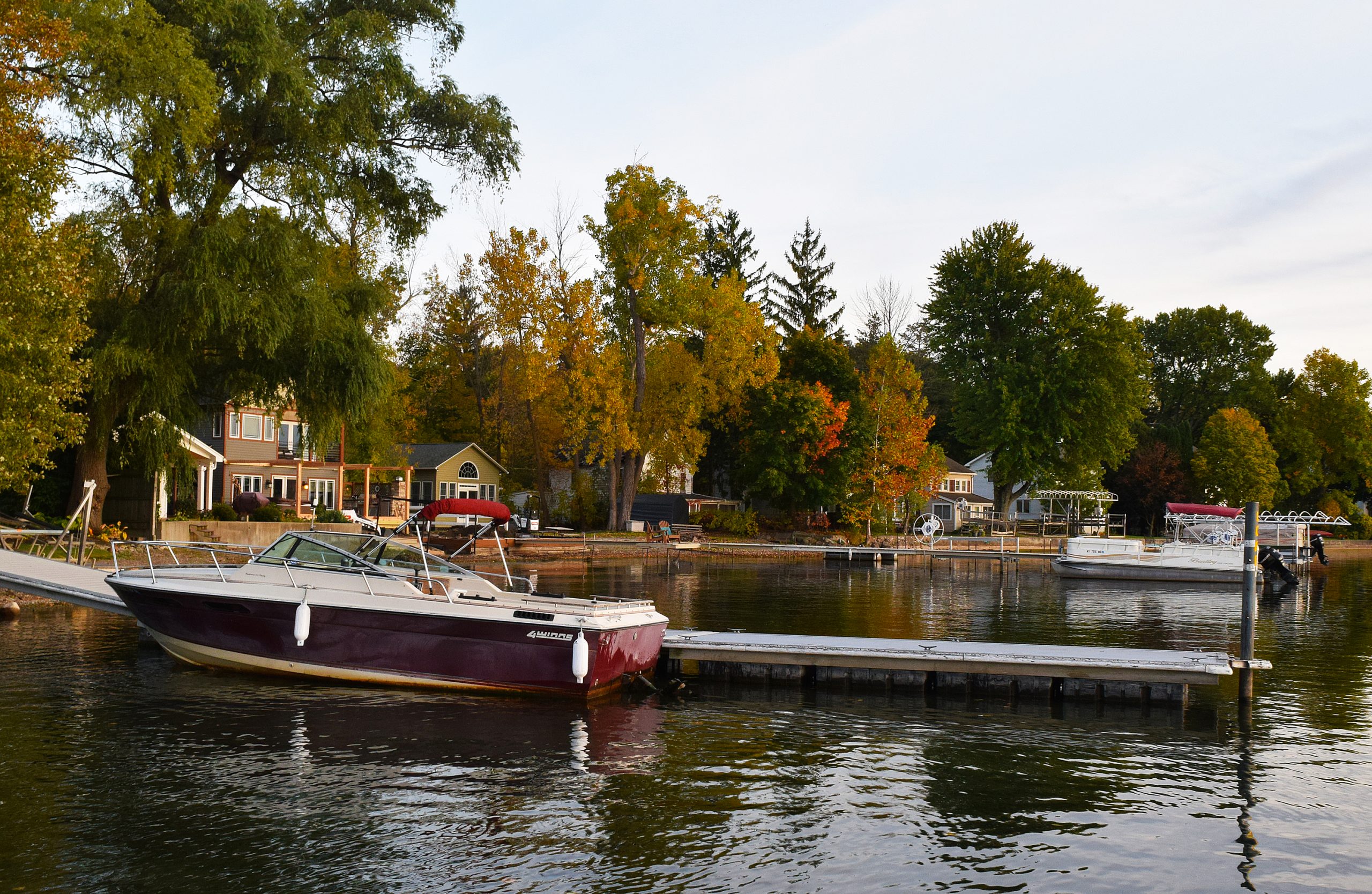
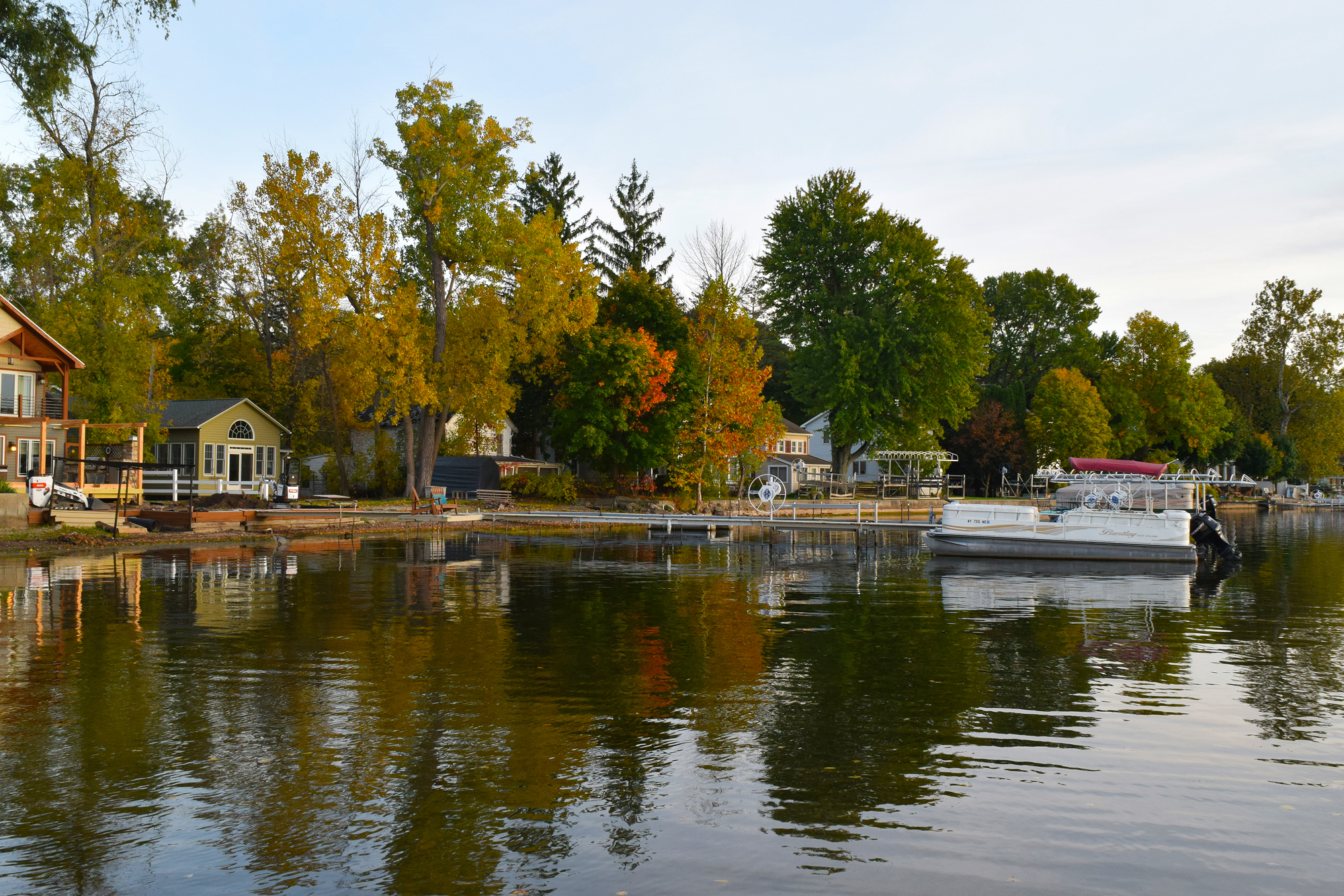
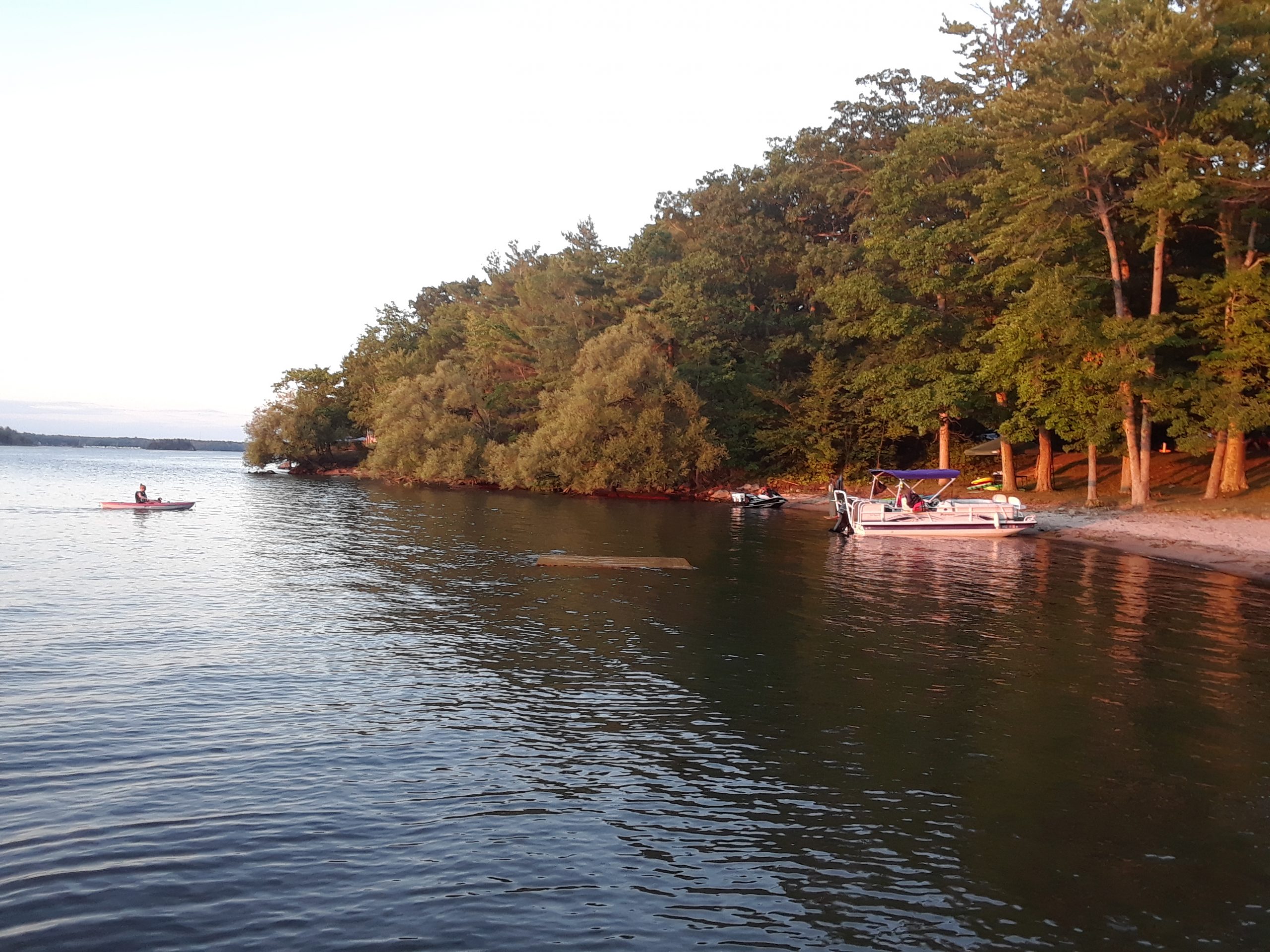
St Michael’s Mission, where I live, is on the slope above Hemlock Lake. However, it is in the town of Conesus. Conesus Lake is about 4 miles to the west. The difference between the two lakes is hard to comprehend being so close. Conesus Lake has a shoreline that is built up. There are houses along most of the shoreline and in many places, they are just a few feet separating homes. While Hemlock Lake is restricted to human-powered boats and boats 17 feet in length and any motors 10 HP or less, Conesus is not. A nice summer day will see hundreds of boats on Conesus Lake.
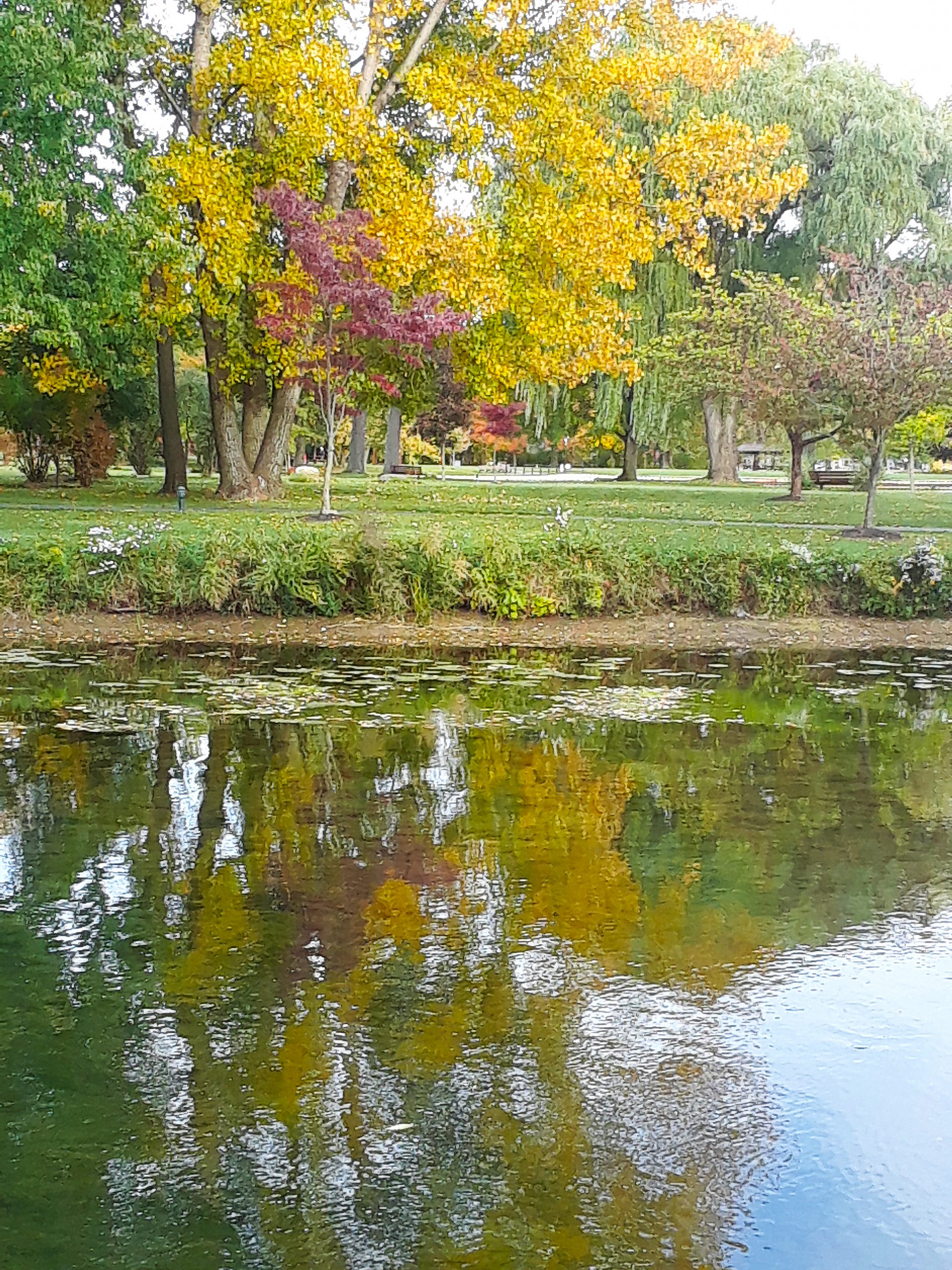
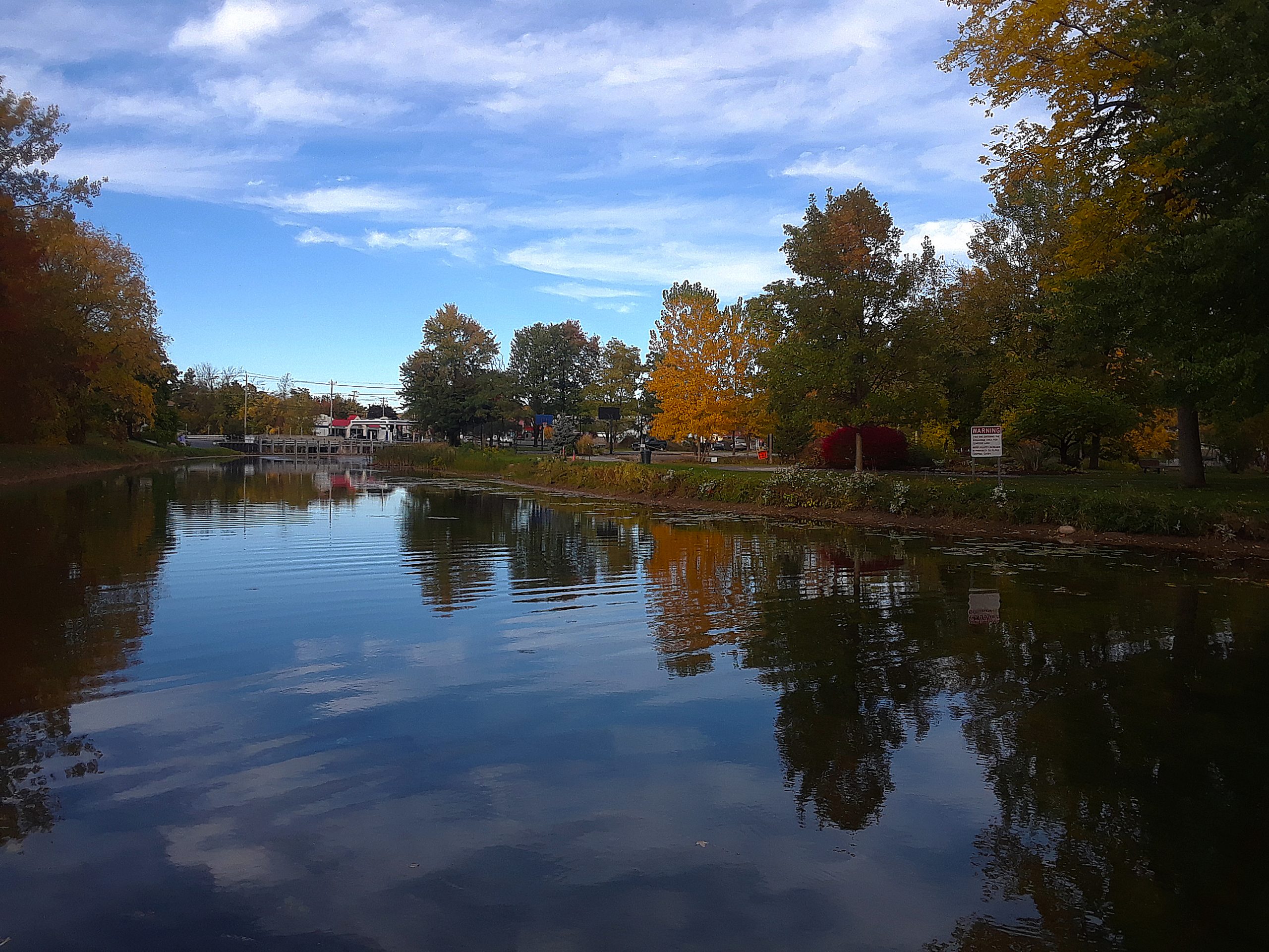
Conesus State Park is about 4 miles from the north end of Conesus Lake. The park is really just a boat launch site and a large parking lot. Kayaks can launch here as well, however, there are four hand launch sites around the like that will be a better choice.
Letchworth State Park
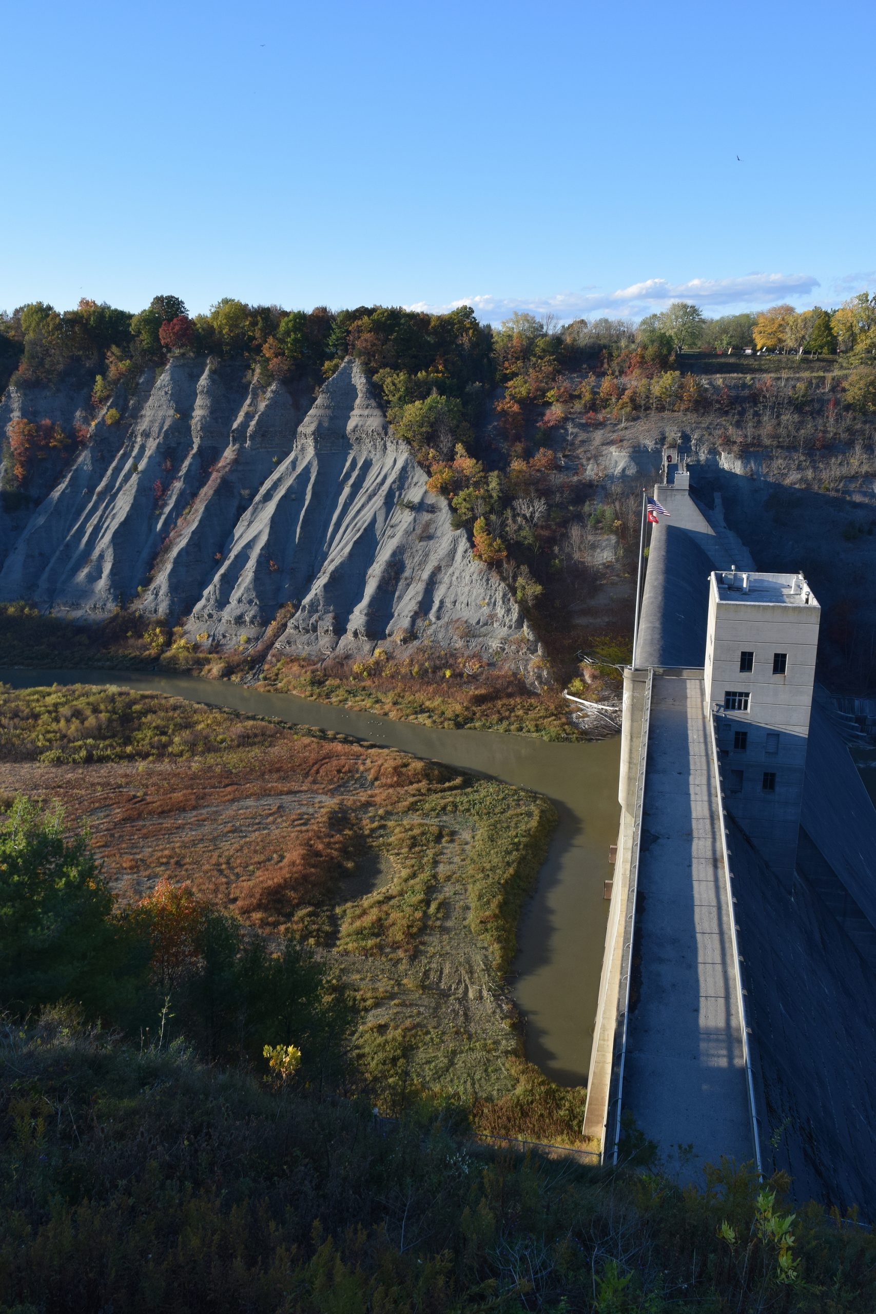
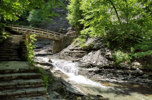
Do not have time to take a trip to the Grand Canyon? Then visit the Grand Canyon of the East, Letchworth State Park. Voted the best state park in the United States and the best attraction in New York, it is a great place to visit any time of the year. However, it really is at its best in the fall.
From the state’s website— The Genesee River roars through the gorge over three major waterfalls between cliffs–as high as 600 feet in some places–surrounded by lush forests. Hikers can choose among 66 miles of hiking trails. Trails are also available for horseback riding, biking, snowmobiling, and cross-country skiing.

Before you go, it is best to go to the state website and download a park map. Putting Letchworth into your maps program and having it give you directions is not the best choice. The park straddles the Genesee River. The park is 17 miles (ca. 27 km) long, in that distance, there are only two bridges. One is a railroad bridge near the south end of the park. The other is a footbridge near the lower falls. The GPS might place you 20 miles from where you want to be.
You can see other photos I have taken of Letchworth State Park t other times of the year at my Flicr Letchworth album
Last week the temperature was a nice 86° then, 36 hours later it was 34°. Since then, it has been mostly misty and no sun. I guess fall is about over and winter will be here soon. Thinking of going cross-country skiing this year instead of hiking.
Charles W. Davis
Charles W Davis Jr. is the author of the “Subic Bay Travel and Dive Guide”, the most referenced source of information on the wrecks of Subic Bay. He is also the author of six other diving and travel books and has ghosted written a number of other books. A Freelance writer attracting clients from his own website www.charleswdavisjr.com and working on the upwork website as “Travel & Scuba Diving Specialist Have WIFI, Will Travel”.
You May Also Like
Hiking and Camping at Stony Brook State Park
Finger Lakes Retreat St. Michael’s Mission